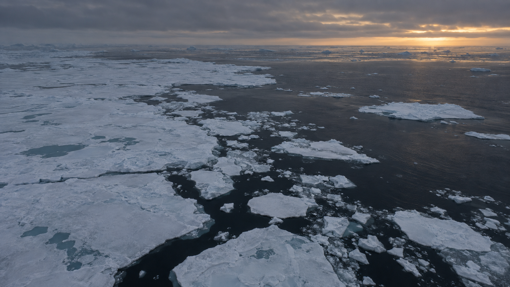
The 2026 minimum
Arctic sea ice reached an estimated annual minimum extent of about 4.60 million square kilometers on September 12, 2026, according to satellite analysis by NASA and the National Snow and Ice Data Center (NSIDC). The value ties for the 10th-lowest minimum since satellite records began in 1979, alongside measurements from 2008, 2010 and 2025.
The longer-term picture
NASA says each of the past 20 years ranks among the 20 lowest annual minimum extents in the satellite record. Sea ice expands during the Arctic winter and contracts toward the end of summer; scientists track the annual low within that seasonal cycle.
Extent is not the same as ice thickness or volume. Satellite extent estimates the area classified as ice-covered, while thickness and age are measured separately. The 4.60-million-square-kilometer figure therefore does not describe every aspect of the Arctic ecosystem or climate impacts.
How to read the ranking
The 2026 minimum is not a record low: the smaller minimum occurred in 2012. Annual values can vary with weather, so researchers assess change across decades of satellite observations rather than relying on one year alone.
Sources
- NASA, Arctic Sea Ice 2026 Minimum
- NASA Scientific Visualization Studio
- National Snow and Ice Data Center
NASA and NSIDC report a 4.60 million sq km minimum on September 12, 2026, tied for the 10th-lowest in the satellite record with 2008, 2010 and 2025, as stated in the sourced NASA/NSIDC materials.
The claim that each of the past 20 years ranks among the 20 lowest is presented as a general NASA statement without a year-by-year figure list in the article; the article itself flags that extent differs from ice thickness/volume, which limits what the headline number shows.
The exact 2012 record-low figure (in million sq km) is not given for direct comparison, only that it was lower; response from the contacted institution (NASA/NSIDC) not yet received.